GIS (Geographic Information Systems)
GIS (Geographic Information Systems)
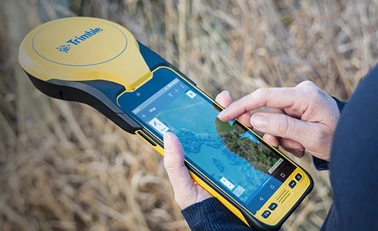
In an era where data drives decision-making, spatial intelligence has emerged as a crucial asset. Modern projects demand not just raw measurements but meaningful insights—how assets relate to each other, how networks evolve, and how terrain and infrastructure interact. GIS services transform survey and mapping data into strategic tools that support planning, design, operations and long-term asset management.
We deliver end-to-end GIS solutions — from data capture and modelling to analysis, visualization, and maintenance. Whether you’re managing utilities, planning infrastructure, responding to environmental change, or automating your asset lifecycle, our GIS workflows convert location data into informed action. Industry peers emphasise functions such as mapping utilities, preparing spatial analysis, and building tailored dashboards.
We deliver end-to-end GIS solutions — from data capture and modelling to analysis, visualization, and maintenance. Whether you’re managing utilities, planning infrastructure, responding to environmental change, or automating your asset lifecycle, our GIS workflows convert location data into informed action. Industry peers emphasise functions such as mapping utilities, preparing spatial analysis, and building tailored dashboards.