Bathymetry Solutions
Bathymetry Solutions
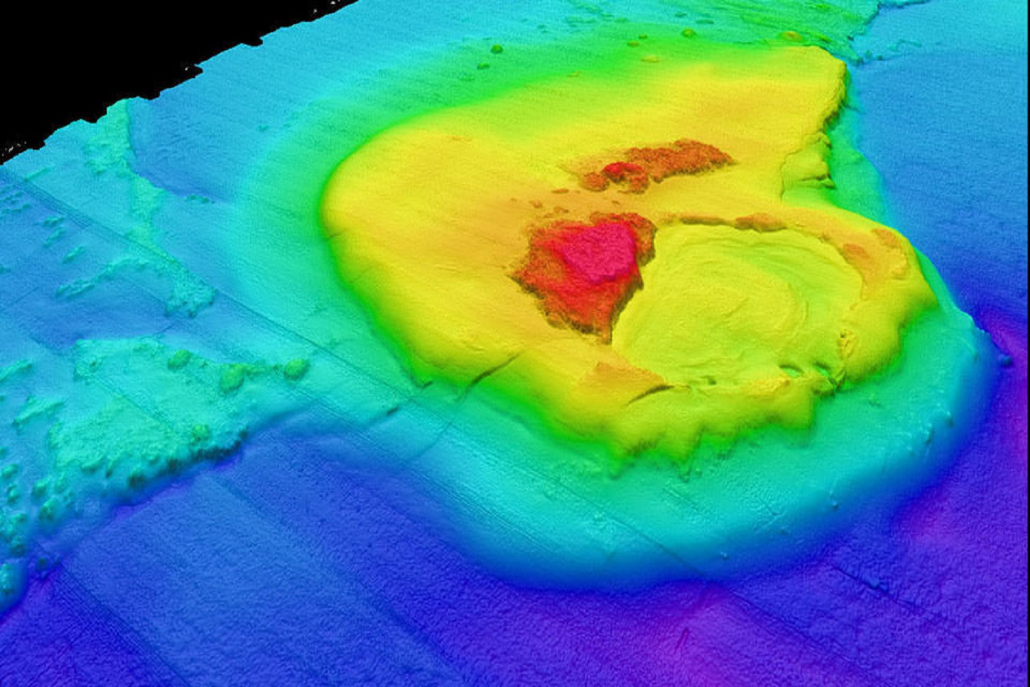
Accurate underwater terrain mapping is no longer a niche service — it has become a critical component of marine infrastructure, coastal management, dredging operations and environmental assessments. Leading firms emphasise turnkey workflows, high‐density data capture and robust post-processing to support engineering and planning decisions.
Our Bathymetry Solution provides a full-stack system: integrating multi-beam and single-beam echo sounders, side-scan sonar, high-precision GNSS/INS positioning, motion compensation, and advanced data processing workflows. From inland waterways and shallow reservoirs to deep harbor zones and coastal shelf environments, our technology adapts to meet the highest standards of accuracy and usability.